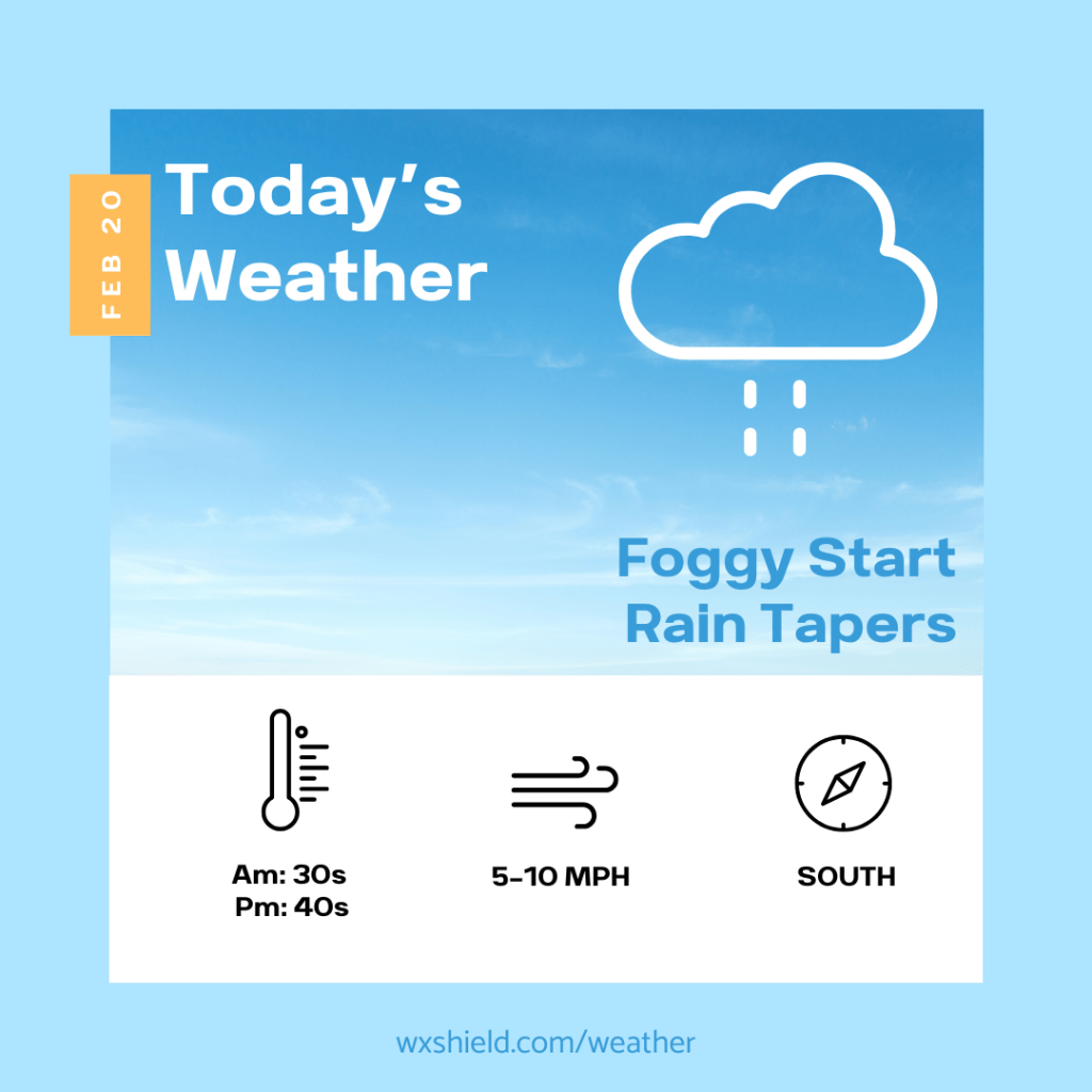
Happy Friday! Today we will start off foggy with some rain. Use caution there could be some icy spots on bridges and overpasses. Temperatures this morning will be in the mid 30s. Winds will be from the southeast between five to ten mph.
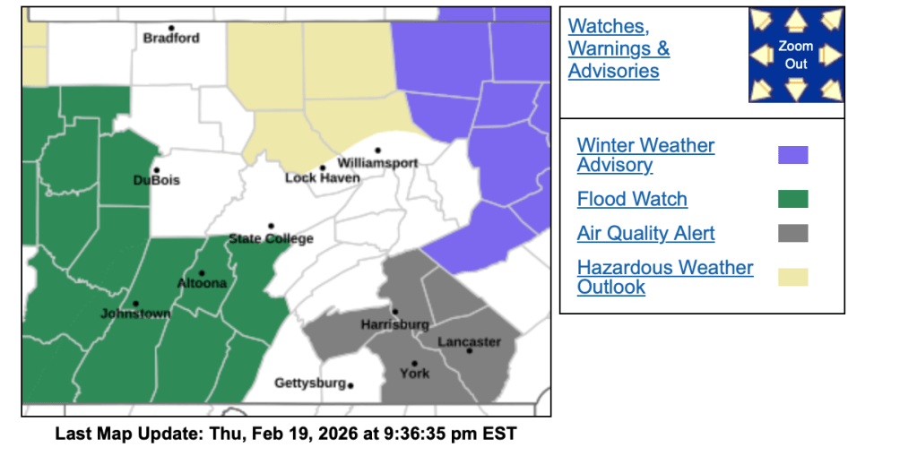
The National Weather Service has issued a Flood Watch until this afternoon for ice jams. If you come across a road covered in water turn around and take an alternate route.
Rain will taper off this afternoon, and we may even see a few peeks of sunshine. Temperatures will be in the upper 40s nearing the 50 degree mark. Winds will be from the south between five to ten mph.
Tonight temperatures will be in the lower 30s. It will be foggy with a partly cloudy sky.
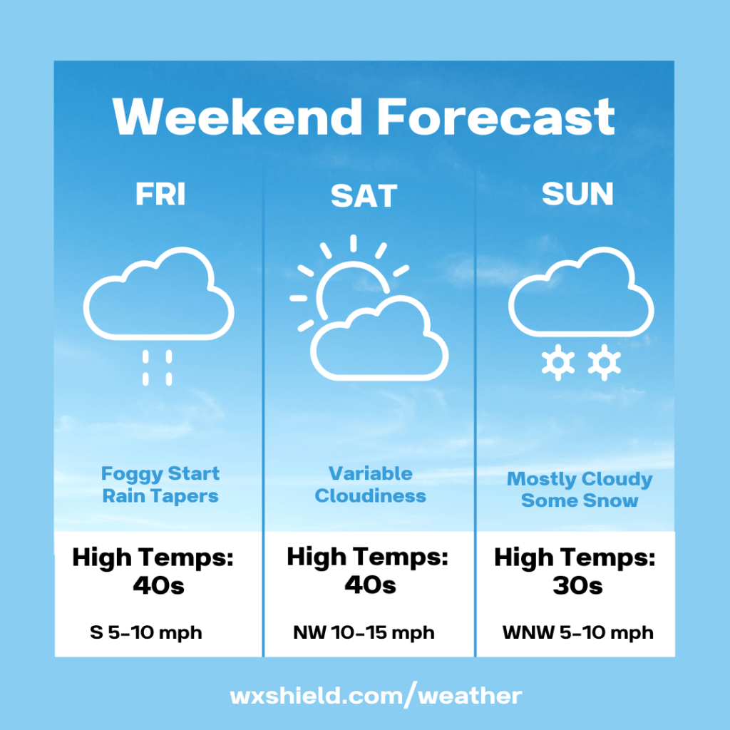
Saturday we will have a variable cloudy sky. Temperatures on Saturday will be in the mid 40s. Winds will be from the west northwest between ten to fifteen mph. Saturday night there could be some snow showers. Temperatures will drop into the lower to mid 30s.
I’m watching a potential winter storm for Sunday. At this point, it looks like we will see some snowfall and a little accumulation. Temperatures on Sunday will be in the mid to upper 30s. Winds will be from the west northwest between five to ten mph. Sunday night temperatures will dip into the upper 20s.

Leave a comment