Happy Tuesday! We will see temperatures soar ahead of a cold front today that will bring in some rain and storms for Wednesday.
Temperatures this morning will be in the upper 40s. We will have a mainly clear sky. Winds will be from the west southwest between ten to fifteen mph.
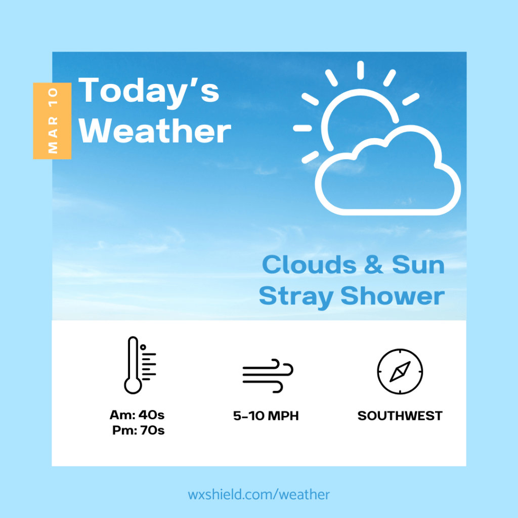
This afternoon there will be a mixture of clouds and sunshine. High temperatures this afternoon will reach the mid 70s. This is well above average for this time of year. In fact, the record high temperatures is 72 degrees for this date set back in 1986. We could also see a stray shower late this afternoon or evening. Winds will be from the southwest between five to ten mph.
Tonight we will have patchy clouds. Late tonight into Wednesday morning some showers will arrive. Low temperatures tonight will be in the mid to upper 50s. Winds will be light from the southwest.
The cold front crosses the area on Wednesday. This could bring in some gusty showers or thunderstorms for your Wednesday.
Have a fantastic day! Enjoy the warmth while we have it!
Almanac for today (Altoona records since 1948):
Average High: 45°F
Average Low: 28°F
Average Precip: .10″
Record High: 72°F in 1986
Record Low: 2°F in 1984
Record Precip: 1.50” in 2011
Yesterday’s High: 70°F
Yesterday’s Low: 43°F
Yesterday’s highest wind speed: SW 20 mph G 28 mph
Sunrise: 7:33 am
Sunset: 7:15 pm

Leave a comment