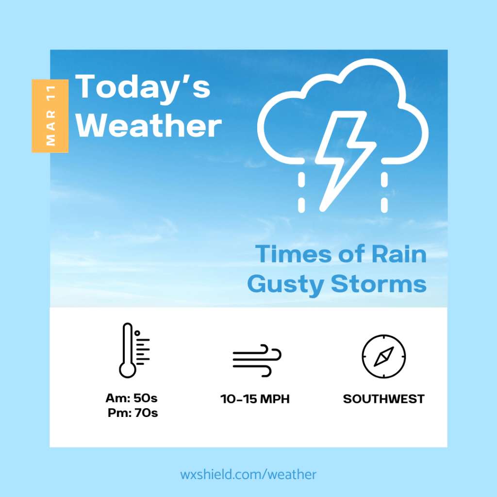
Good morning! Today we will have a cold front moving through that could bring strong to severe storms.
This morning we will have patchy clouds. Temperatures will be in the 50s. Winds will be from the west between five to ten mph. If clouds and rain move in early, that means less of a chance of severe weather this afternoon.
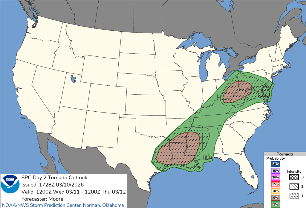
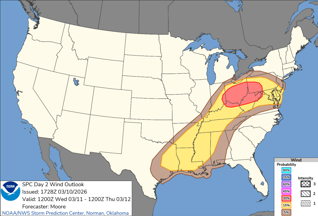
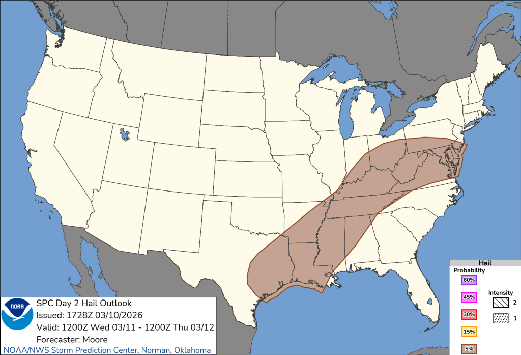
Temperatures this afternoon will be in the 70s. This afternoon we will have times of rain we will also see some strong to severe storms. Keep up to date with the forecast today. The National Weather Service has put us under a slight risk of severe storms. Gusty winds is the biggest threat. They are also not ruling out chance of a weak tornado. Winds this afternoon will be from the southwest between ten to fifteen mph. I do think if we have a cloudy morning and showers move in earlier, we will not see the severe potential. If we stay sunnier, the chances for strong storms go up.

Tonight storms taper off and showers could mix with a few snow showers. Temperatures tonight will dip into the lower 30s. Winds will pick up, it will be windy. Winds will be from the southwest between fifteen to twenty mph.
Stay safe and have a wonderful day!
Almanac for today (Altoona records since 1948):
Average High: 46°F
Average Low: 28°F
Average Precip: .10″
Record High: 74°F in 2025
Record Low: 3°F in 1960
Record Precip: 1.17” in 1952
Yesterday’s High: 72°F
Yesterday’s Low: 45°F
Yesterday’s highest wind speed: SW 10 mph
Sunrise: 7:31 am
Sunset: 7:16 pm

Leave a comment