Good morning! I hope you had a wonderful weekend. After yesterday’s storms, watch for ponding on the roadways this morning. Even in some higher elevations as temperatures drop this morning, there could be some slick and icy spots. Use careful on your morning commute. The rest of the week is up and down, which is typical of late March.
Click here for your 7-Day Outlook.
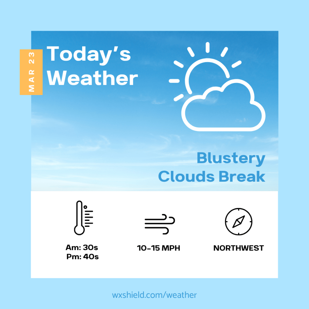
Temperatures this morning will be in the upper 30s to lower 40s. Winds will be from the north between five to ten mph. This morning will be cloudy with a lingering shower or flurry.
This afternoon clouds will gradually begin to break leaving us with a partly cloudy sky. It will be a blustery afternoon. Winds will be from the northwest between ten to fifteen mph. Temperatures today will be in the mid to upper 40s.
Tonight we will be partly cloudy. Temperatures tonight will be in the lower to mid 20s. Winds will continue from the northwest between ten to fifteen mph.
Almanac for today (Altoona records since 1948):
Average High: 50°F
Average Low: 32°F
Average Precip: .10″
Record High: 81°F in 2012
Record Low: 15°F in 2017
Record Precip: 1.12” in 2005
Yesterday’s High:°F
Yesterday’s Low:°F
Yesterday’s highest wind speed:
Sunrise: 7:12 am
Sunset: 7:29 pm

Leave a comment