Good evening! I hope you had a great day! We’ve got two systems arriving for the weekend, but Saturday looks to be the pick of the weekend!
Temperatures Friday morning will be in the lower to mid 30s. We will have a rather cloudy start to our Friday.
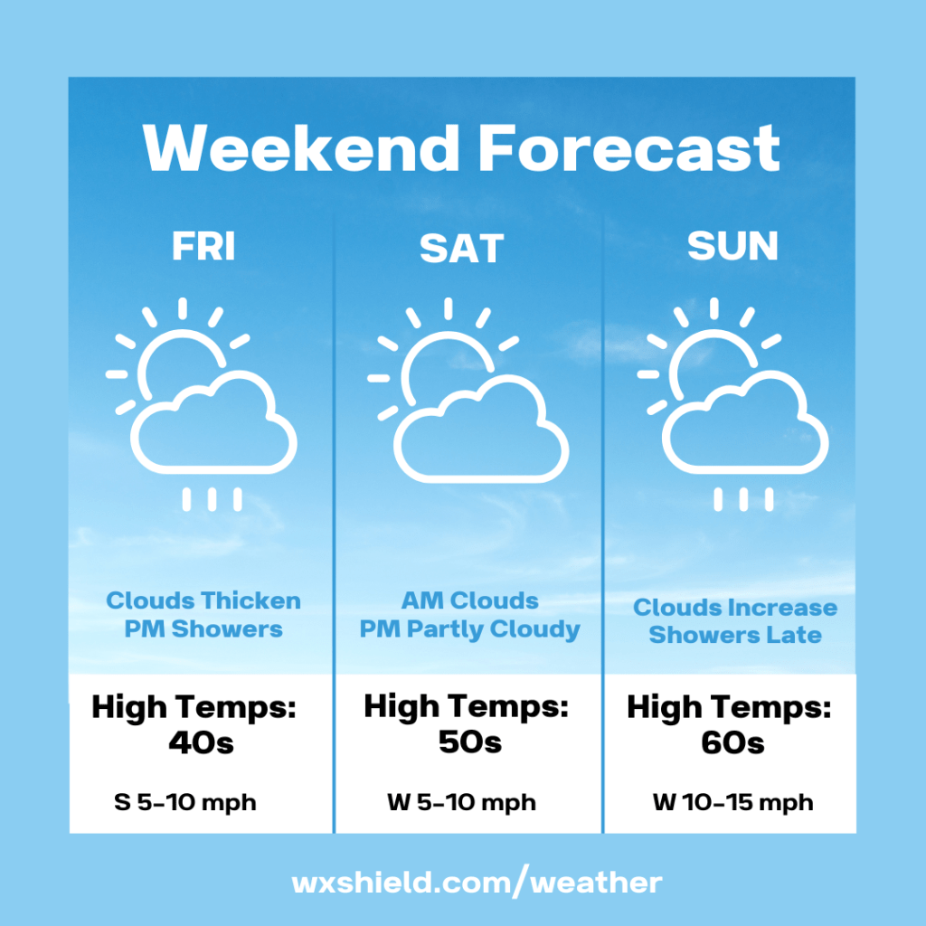
Clouds will thicken as Friday goes along and a front arrives bringing showers by Friday afternoon. Temperatures on Friday will be in the mid to upper 50s. Winds will be from the south between five to ten mph. Friday night rain continues, otherwise we will have a cloudy sky. Friday night temperatures will be in the mid 40s.
Saturday morning there could be a lingering shower early. During the morning hours on Saturday clouds will begin to break. During Saturday afternoon we will have a partly cloudy sky. Saturday will shape up to be a nice day. Temperatures on Saturday will be in the upper 50s to lower 60s. Winds will be from the west between five to ten mph. Saturday night temperatures ill dip into the mid 40s.
Sunday we start off with sunshine, but clouds will increase as the day rolls along. A cold front arrives late in the day on Sunday bringing in showers. Temperatures on Sunday will reach in the mid to upper 60s ahead of the front. Winds will be from the west between ten to fifteen mph. Sunday night showers taper off, and there could be a snow shower mixed in. Sunday night temperatures will be in the upper 30s.
Monday clouds break for some sunshine. Our high temperatures on Monday will be in the mid 40s.
I hope you all have a wonderful and safe weekend!

Leave a comment