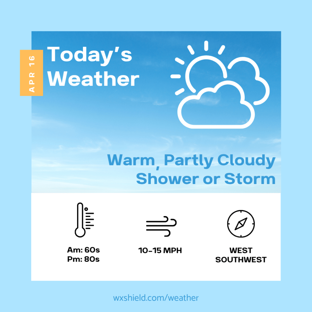
Happy Thursday! We still have a waffling front just to our north. A more potent cold front moves through Sunday, and more seasonable air returns.
Temperatures this morning will be in the lower to mid 60s. Winds will be from the west southwest between five to ten mph.
This afternoon we will have a mix of sunshine and clouds. It will be quite warm. We will see temperatures returning back to the mid 80s. Our record high temperature for this date was 88 back in 2012. A stray shower or storm cannot be ruled out. Wids will be from the west southwest between ten to fifteen mph.
Tonight we will see a shower or storm this evening, better chance north of I-80 to see the wet weather. Within a storm there could be hail, gusty winds, and downpours. Not everyone will see wet weather. Otherwise tonight we will have patchy clouds. Temperatures tonight will be in the upper 50s to lower 60s. Winds will be from the west between five to ten mph.
Have a wonderful Thursday!
Almanac for today (Altoona records since 1948):
Average High: 61°F
Average Low: 40°F
Average Precip: .11″
Record High: 88°F in 2012
Record Low: 22°F in 2014
Record Precip: 2.56” in 1993
Yesterday’s High: 82°F
Yesterday’s Low: 57°F
Yesterday’s highest wind speed: W 18 mph G 25 mph
Sunrise: 6:33 am
Sunset: 7:54 pm

Leave a comment