Good morning and Happy Tuesday! I’ve been away in Colorado, so thank you all for allowing me the time off from your weather forecasts! We are back in action now for daily posts here on wxshield.com.
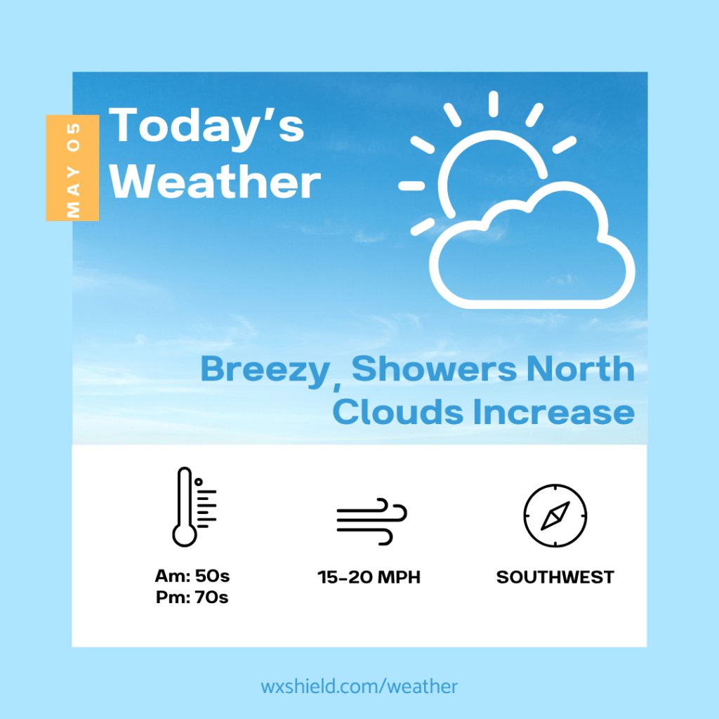
This morning temperatures will be in the lower to mid 50s. We will have patchy clouds. A cold front today will arrive from the northwest.
This afternoon clouds will increase. Northwestern counties could even see a few showers or a rumble of thunder. Most spots stay dry during the daytime hours as temperatures soar. High temperatures this afternoon will be in the upper 70s to near 80 degrees. It will be breezy this afternoon. Winds will be from the southwest between fifteen to twenty mph.
Tonight clouds thicken and rain arrives as the cold front moves across Central PA. Temperatures tonight will be in the mid to upper 50s. Tonight winds will continue from the southwest between five to ten mph. More showers continue on your Wednesday.
Have an awesome day!
Almanac for today (Altoona records since 1948):
Average High: 68°F
Average Low: 46°F
Average Precip: .12″
Record High: 86°F in 1949
Record Low: 29°F in 1996
Record Precip: 1.38” in 2017
Yesterday’s High: 72°F
Yesterday’s Low: 41°F
Yesterday’s highest wind speed: SW 22 mph G 29 mph
Sunrise: 6:07 am
Sunset: 8:12 pm

Leave a comment