This week has been soaring by! How is your Thursday going? After this chilly day, we’ve got a big warm up on the way for the weekend!
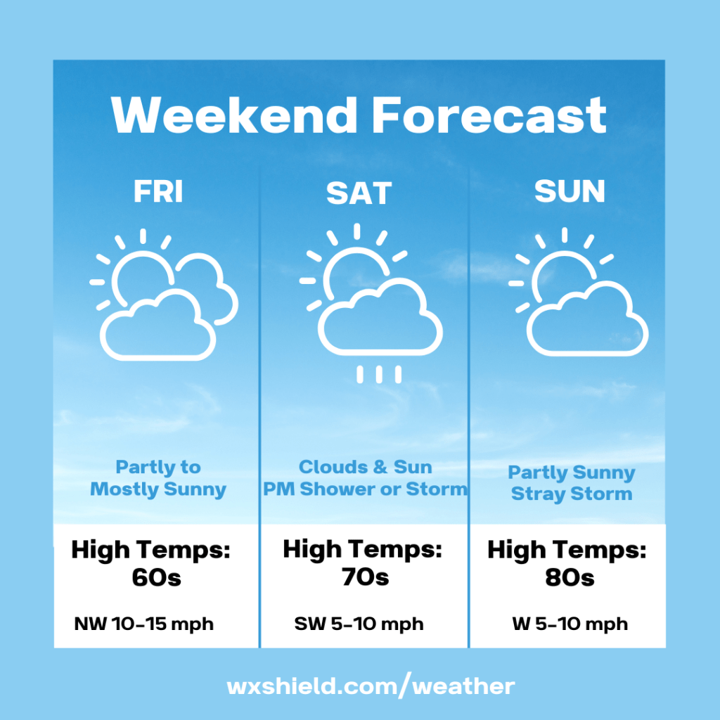
Friday morning we will start off cloudy with temperatures in the mid 40s. Winds will be from the northwest between ten to fifteen mph.
Friday afternoon temperatures will be in the mid 60s. Winds will be from the northwest between ten to fifteen mph. Friday afternoon we will have a partly to mostly sunny.
Friday night will be partially clear. Temperatures will drop into the lower to mid 40s. Winds will be from the west between five to ten mph.
Saturday we will start off with sunshine mixing with clouds. Winds will be from the southwest ushering in milder air. Winds will be between five to ten mph. Our temperatures on Saturday afternoon will reach into the mid to upper 70s. During the afternoon hours there could be a stray shower or storm.
Saturday night there will be a weak low pressure system that arrives. This will bring in clouds and a few showers and rumbles of thunder. Saturday night temperatures will be in the upper 50s to lower 60s. Winds will be from the west southwest between five to ten mph.
Sunday high temperatures will soar into the upper 70s to lower 80s. Sunday we will have more clouds compared to sunshine. Winds will be from the west between five to ten mph. During the afternoon hours on Sunday, we could see a pop up storm or two.
Sunday night temperatures will be in the upper 50s to lower 60s. Sunday night we will have just a few clouds.
Early next week, temperatures will climb to mid summer levels. We could see high temperatures in the upper 80s to lower 90s.
Have a wonderful weekend!
Almanac for today (Altoona records since 1948):
Average High: 71°F
Average Low: 49°F
Average Precip: .12″
Record High: 90°F in 1962
Record Low: 35°F in 2001
Record Precip: 1.06” in 1978
Yesterday’s High: 49°F
Yesterday’s Low: 46°F
Yesterday’s highest wind speed: WNW 17 mph G 22 mph
Sunrise: 5:57 am
Sunset: 8:23 pm

Leave a comment