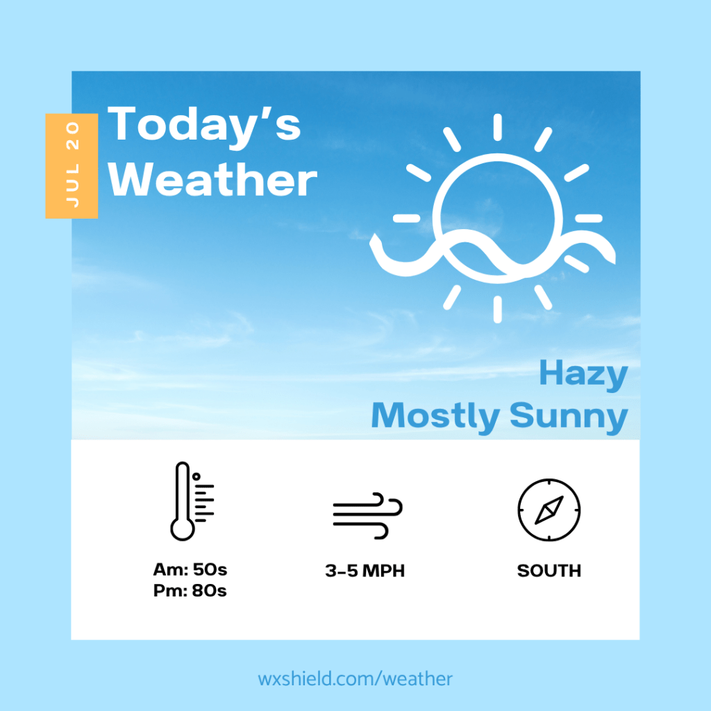
Good morning! I hope you stayed safe with this weekend’s storms. This week will start off quiet and comfortable for us across Central PA, with just a little bit of haze.
Click here for your 7-Day Outlook.
Temperatures this morning will be in the mid 50s. Winds will be light from the northwest. We will have a mainly clear sky. The sky may look milky from the wildfire smoke.
This afternoon we will have hazy conditions with plenty of sunshine. High temperatures will be in the lower 80s. Winds will be from the south between 3-5 mph.
Tonight temperatures will drop into the mid 60s. We will have clouds increasing tonight into Tuesday morning. There could even be a few showers late at night into the early Tuesday morning hours.
Tuesday we will have scattered storms and downpours. Some storms could contain strong winds, so you will want to stay weather aware. Tuesday night storms tapper off with a variable cloudy sky. Low temperatures will be in the mid 60s.
Almanac for today (Altoona records since 1948):
Average High: 83°F
Average Low: 62°F
Average Precip: .11″
Record High: 96°F in 2011
Record Low: 45°F in 1965
Record Precip: 1.20″ in 1988
Yesterday’s High: °F
Yesterday’s Low: °F
Yesterday’s highest wind speed:
Sunrise: 6:00 am
Sunset: 8:39 pm
 Wx Shield
Leave a comment