Good morning! Woo hoo it is Friday!
Drier weather returns today and for Saturday, before rain arrives late Saturday night into Sunday.
Click here for your Weekend Outlook.
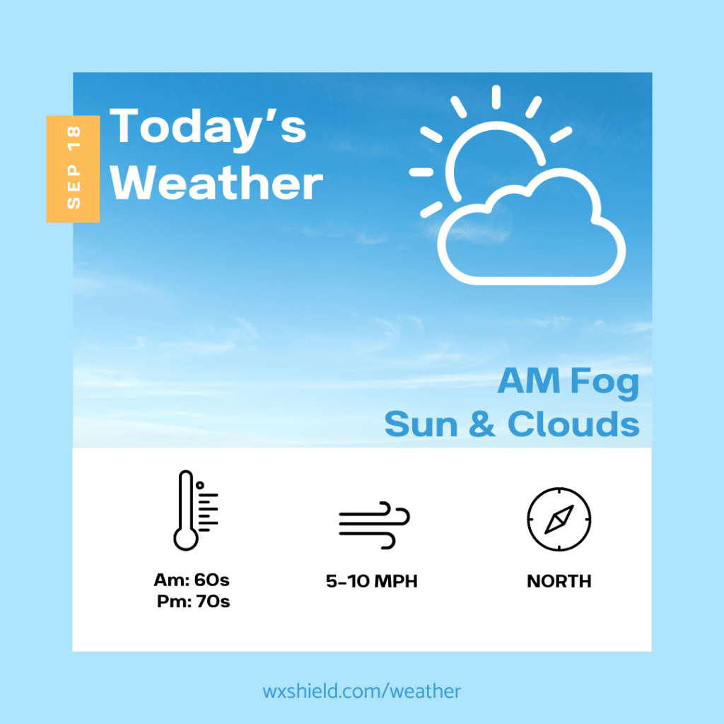
Temperatures this morning will be in the mid to upper 60s. We will start off rather cloudy with fog. Winds will be from the west between 3-5 mph.
This afternoon the fog diminishes, and we will have a partly sunny sky. Temperatures will be in the mid to upper 70s. This will be a more comfortable day compared to the past few. Winds will be from the north and will be light.
Tonight temperatures will be in the upper 40s to lower 50s. Winds will be light from the northeast. Tonight we will have a partially to mainly clear sky. it will be quite cool in some valley locations if the sky clears and we have light winds.
Saturday there will be some sunshine to start, but clouds will increase throughout the day as a low-pressure system approaches. Saturday high temperatures will reach the lower 70s.

Almanac for today (Altoona records since 1948):
Average High: 74°F
Average Low: 53°F
Average Precip: .14″
Record High: 87°F in 1965
Record Low: 34°F in 1959
Record Precip: 1.22″ in 2012
Yesterday’s High: 80°F
Yesterday’s Low: 64°F
Yesterday’s highest wind speed: NW 10 G 16 mph
Sunrise: 6:57 am
Sunset: 7:17 pm
 Wx Shield
Leave a comment