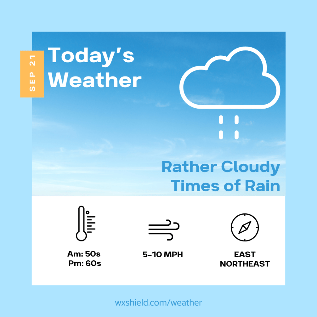
Good Monday morning to you! I hope you had a nice weekend! More rain on the way this week. It is also a bit of an uncertain forecast this week due to the set up.
Click here for your 7-Day Outlook.
‘We will have a low pressure system off the eastern seaboard, and a high pressure sitting to our north in Canada. These two sytsems will be battling it out through the week. If the low comes a little closer to the shoreline, expect more days with damp, cool, and cloudy conditions. If it goes out more to sea, we will be seeing more sunshine but still staying cool.
Temperatures Monday morning will be in the mid to upper 50s. We will start the day off cloudy with drizzle and fog. Winds will be from the northeast between five to ten mph.
Monday afternoon temperatures will reach the lower to mid 60s. Winds will be from the east between five to ten mph. Monday afternoon will be rather cloudy with some rain arriving late in the evening hours into Monday night.
Monday night temperatures will be in the lower to mid 50s. It will be a cloudy night with times of rain. Winds will be from the east between five to ten mph.
Tuesday will be a damp day to kick off astronomical fall. We will be cloudy with showers. Temperatures on Tuesday will be in the mid to upper 50s for highs. This is quite cool. Winds will be form the east between five to ten mph. Tuesday night temperatures will be in the upper 40s and we will have a cloudy sky.
Almanac for today (Altoona records since 1948):
Average High: 72°F
Average Low: 52°F
Average Precip: .14″
Record High: 87°F in 1970
Record Low: 30°F in 1956
Record Precip: 1.25″ in 1979
Yesterday’s High: °F
Yesterday’s Low: °F
Yesterday’s highest wind speed:
Sunrise: 7:00 am
Sunset: 7:12 pm
 Wx Shield
Leave a comment