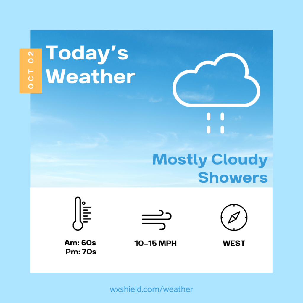
Good morning! We’ve made it to Friday! We’ve got some showers on the way this weekend, and more seasonable air will be returning. In fact, by next week, we will have the potential for a frost or freeze.
Click here for your Weekend Outlook.
Temperatures this morning will be in the mid 60s. Winds will be from the south between five to ten mph. This morning clouds will be thickening.
This afternoon a cold front will be moving through. This will bring in clouds and showers. Winds this afternoon will be from the west between ten to fifteen mph with gusts up to 25 mph. This afternoon temperatures will be in the mid 70s.
Tonight showers will taper off and clouds will slowly try to break into Saturday morning. If the sky clears, temperatures will dip into the upper 40s. If clouds stick around, temperatures will drop into the lower 50s. Winds will be from the west between ten to fifteen mph.
Have an amazing day!
Almanac for today (Altoona records since 1948):
Average High: 68°F
Average Low: 48°F
Average Precip: .10″
Record High: 89°F in 2019
Record Low: 30°F in 1958
Record Precip: 1.34″ in 1969
Yesterday’s High: 83°F
Yesterday’s Low: 58°F
Yesterday’s highest wind speed: SW 10 mph G 17
Sunrise: 7:11 am
Sunset: 6:53 pm


Leave a comment