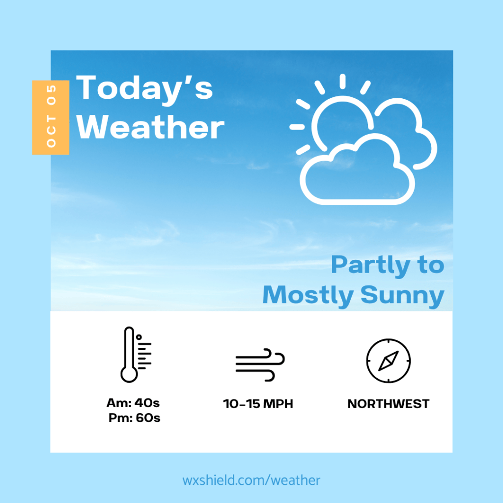
Good morning! Today we will continue to be drizzly and cloudy, but high pressure will build in today and stick with us for most of the week.
Click here for your 7-Day Outlook.
Temperatures this morning will be in the upper 40s. We will start off with a partly cloudy sky with some patchy fog. Winds will be light from the west between 3-5 mph.
Temperatures this afternoon will be in the mid to upper 60s. Winds will be from the northwest between five to ten mph. This afternoon we will see a partly cloudy sky slowly turning to a sunny sky.
Tonight temperatures will be in the mid to upper 30s. It will be a chilly night and we could have a freeze into Tuesday morning. If you have any sensitive plants, make suer to keep them covered or bring them inside. Tonight we will have a clear sky.
Tuesday starts off frosty. As the day goes on, high temperatures will reach the lower 60s. Winds on Tuesday will be light from the west. Tuesday we will have high pressure, which means blue sky and sunshine. Tuesday night temperatures will be in the upper 30s. Once again, we could be dealing with a frost or freeze.
Have an amazing Monday!
Almanac for today (Altoona records since 1948):
Average High: 67°F
Average Low: 47°F
Average Precip: .11″
Record High: 89°F in 1951
Record Low: 31°F in 1965
Record Precip: 1.35″ in 1979
Yesterday’s High:°F
Yesterday’s Low:°F
Yesterday’s highest wind speed:
Sunrise: 7:14 am
Sunset: 6:49 pm


Leave a comment