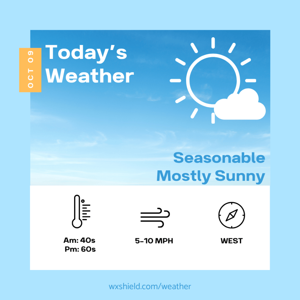
Good morning! We’ve made it to Friday! Yay! We have had a week of dry weather, and that continues to start the weekend, before the remnants of Isaias arrives on Sunday bringing in some soggy weather.
Click here for your Weekend Outlook
Temperatures this morning will be in the lower to mid 40s. Winds will be light. Since winds will be light, this could lead to patchy fog. Otherwise, we will have a clear sky.
This afternoon will be filled with blue sky and sunshine. There will be only a few clouds. High temperatures will reach the mid to upper 60s which is seasonable for this time of the year. Winds will be from the northwest between five to ten mph.
Tonight we will have a clear to partially clear sky. Low temperatures will be in the lower to mid 40s. Winds will be from the west between five to ten mph.
Saturday we will have sunshine to start, eventually as the day progresses, high clouds will win out. Clouds will increase as the remnants of Isaias approach our state. High temperatures on Saturday will be in the upper 60s to lower 70s. Saturday night we become cloudy and rain arrives late Saturday night into Sunday morning.
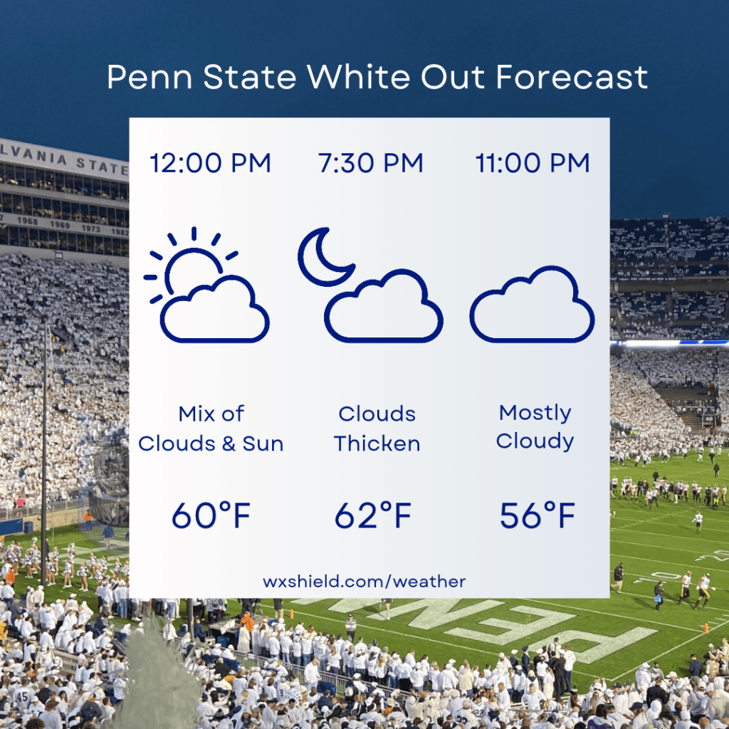
Click here for your PSU White Out Forecast
Almanac for today (Altoona records since 1948):
Average High: 65°F
Average Low: 45°F
Average Precip: .10″
Record High: 84°F in 2007
Record Low: 26°F in 2001
Record Precip: 1.71″ in 1976
Yesterday’s High: 72°F
Yesterday’s Low: 56°F
Yesterday’s highest wind speed: NW 17 mph G 28 mph
Sunrise: 7:18 am
Sunset: 6:42 pm


Leave a comment