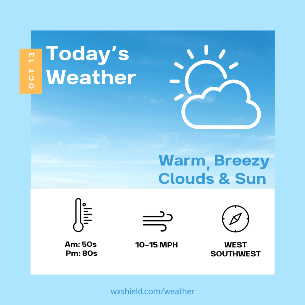
Happy Tuesday! We are going to have a warm day ahead across Central PA.
This morning temperatures will be in the mid 50s. Winds will be from the west between 5-10 mph. This morning we will start off with patchy clouds and the potential for some fog.
A low pressure system will be crossing to the north in New York, at this point, it stays well to the north keeping us dry. This will also allow for a breezy west southwesterly wind to pick up.
This will usher in the potential for record breaking warmth. Our high temperatures today will reach into the lower 80s. Our record high temperature for this date was 82°F set back in 2024. We could challenge that record today. Winds will be between ten to fifteen mph and gusts upwards of 25 mph. This will usher in the warmer air. This afternoon expect it to be humid with a mix of clouds and sunshine.
Tonight temperatures will only fall into the mid 60s. Winds will be from the west between ten to fifteen mph. Tonight we should see a mainly clear sky.
Have a wonderful day!
Almanac for today (Altoona records since 1948):
Average High: 64°F
Average Low: 44°F
Average Precip: .09″
Record High: 82°F in 2024
Record Low: 26°F in 2012
Record Precip: .80″ in 1983
Yesterday’s High: 66°F
Yesterday’s Low: 55°F
Yesterday’s highest wind speed: WNW 14 G 21 mph
Sunrise: 7:22 am
Sunset: 6:36 pm


Leave a Reply