Happy Friday!
This morning we are starting off with temperatures in the 5os with patchy fog. Winds this morning are from the south between five to ten mph.
A low pressure system will move through today and the cold front associated with it will bring in gusty winds for tonight and Saturday.
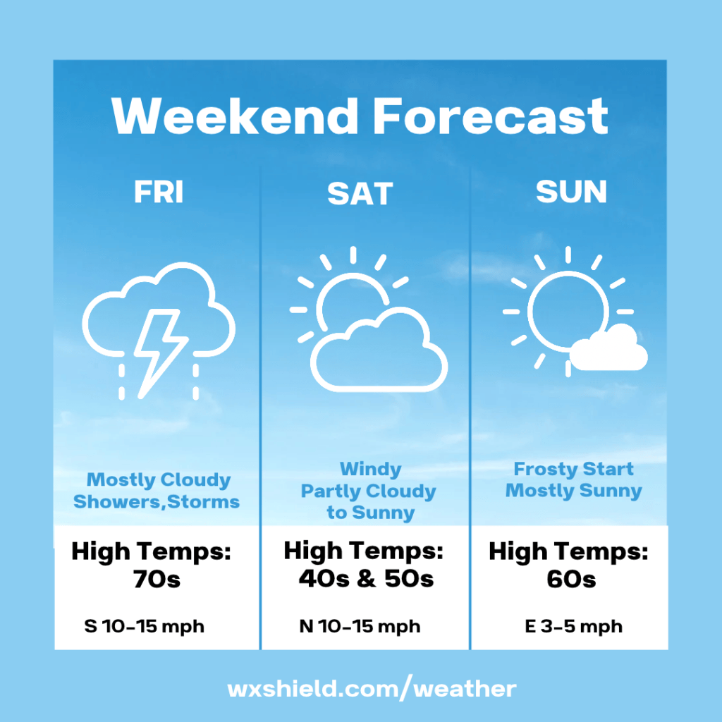
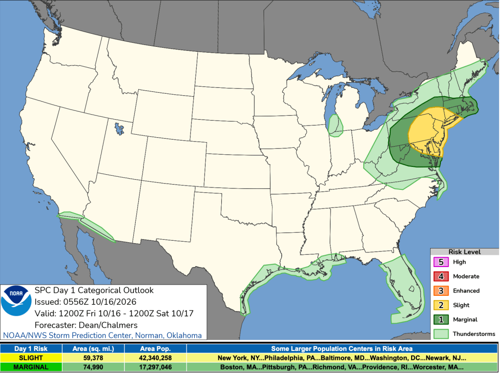
Temperatures this afternoon will reach the mid 70s. Winds will be from the south between ten to fifteen mph. We could see a strong storm in eastern counties with the potential for damaging winds and downpours. Most of us will see showers at times.
Tonight we will have showers in spots. Winds will be from the west between ten to fifteen mph. Gusts will reach up to 30 mph. Temperatures tonight drop into the mid to upper 30s. You’ll want to cover your sensitive plants or bring them inside all weekend long at night.
Saturday we will have a partly to mostly sunny day. It will be chilly. Temperatures will only reach highs in the upper 40s to lower 50s. Winds will be from the North between ten to fifteen mph. Gusts will be upwards of 25 mph. This will make the air feel colder.
Saturday with a clear sky and calming wind, temperatures will drop. Low temperatures will be in the upper 20s to lower 30s. Winds will be from the northwest between five to ten mph.
After a frosty start on Sunday, we will see plenty of sunshine. High temperatures on Sunday will reach the mid to upper 50s. Winds on Sunday will be from the east between 3-5 mph.
Monday looks to be a seasonable day with sunshine.
Have a great weekend!
Almanac for today (Altoona records since 1948):
Average High: 62°F
Average Low: 43°F
Average Precip: .09″
Record High: 78°F in 1963
Record Low: 29°F in 2020
Record Precip: 1.35″ in 2006
Yesterday’s High: 64°F
Yesterday’s Low: 50°F
Yesterday’s highest wind speed: S 9 mph
Sunrise: 7:25 am
Sunset: 6:30 pm


Leave a Reply