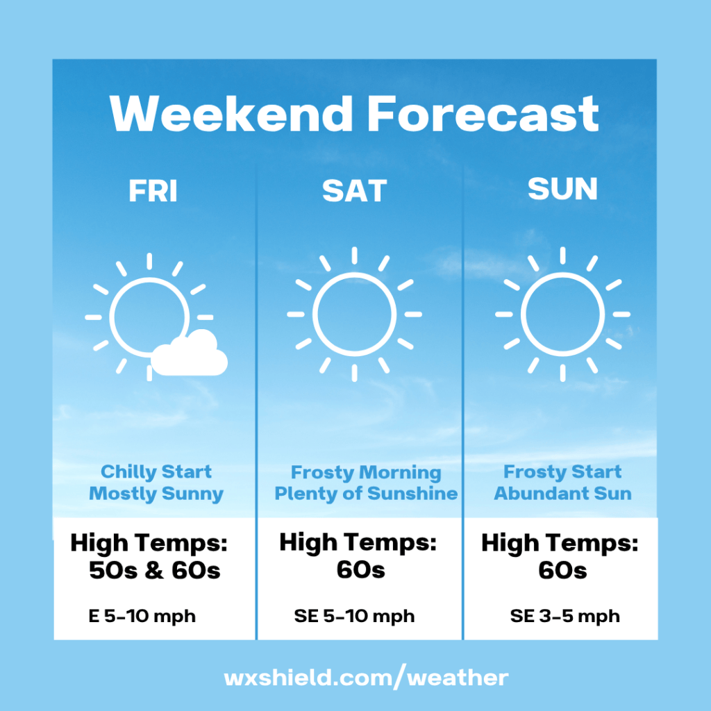
Good evening! High pressure has dominated our forecast here in Central PA bringing us seasonable weather this week. That trend continues for the weekend.
Friday a weak cold front will roll across the area. This will not bring in any precipitation, but it will bring in a bit of cooler air.
Friday morning temperatures will be in the upper 30s to lower 40s. We will start the day of with a clear sky and a few passing clouds. Winds will be from the north between five to ten mph.
Friday afternoon we will be mostly sunny. Temperatures will only reach the upper 50s to lower 60s. Winds will be from the east between five to ten mph.
Friday night there could be some patchy fog and frost into Saturday morning. Temperatures on Friday night will dip to around the freezing mark of 32 degrees.
Saturday high temperatures will be in the lower 60s. It will be a nice seasonable day. High pressure returns and we will have abundant sunshine and blue sky. If you wanted to go leaf peeping, this would be the day to do it. Winds will be from the southeast between five to ten mph.
Saturday night will be clear and great for stargazing. Just make sure to bundle up. Temperatures Saturday night will fall into the upper 20s to lower 30s. Winds will be from the southeast and will be light.
Sunday is almost a carbon copy. We will have a frosty start Sunday morning, then a seasonable and sunny afternoon. Temperatures Sunday will reach into the lower 60s. Winds will be from the south between 3-5 mph. Sunday night temperatures fall into the lower to mid 30s with a mainly clear sky.
Monday we will have a mostly sunny day. It will be a bit milder. Temperatures on Monday will reach the upper 60s to lower 70s. Winds on Monday will be form the west northwest between five to ten mph.
Have an amazing weekend!


Leave a Reply