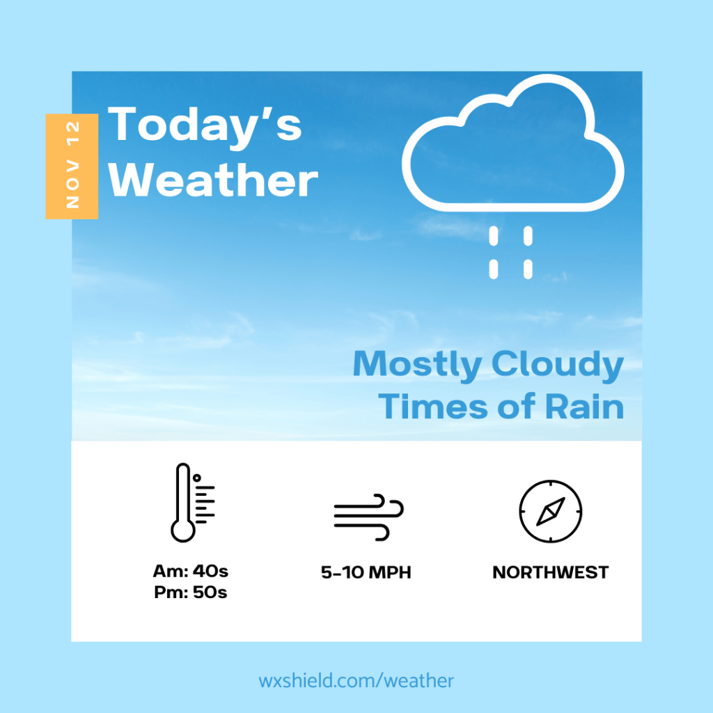
Happy Thursday! I hope you are having a great week so far. We have a low-pressure system bringing us rain today.
Temperatures this morning will be in the mid 40s. It will be a cloudy start with some rain and fog. Winds will be light this morning.
This afternoon temperatures will be stuck in the upper 40s to lower 50s due to times of rain. Othwise, expect a cloudy day. Winds will be from the northwest between five to ten mph.
Tonight showers taper off, but temperatures will drop. That means there could be some showers mixing with snow showers as we head into the overnight hours. Temperatures tonight will be in the lower to mid 30s. Winds will be from the northwest between ten to fifteen mph.
Into Friday and Saturday, there will be some lake effect snow showers. Most areas should not see accumulation, but in the Laurel Highlands, and north of I-80 there could be some light accumulations. Watch for slick road conditions.
Have a great day!
Almanac for today (Altoona records since 1948):
Average High: 52°F
Average Low: 35°F
Average Precip: .10″
Record High: 71°F in 1982
Record Low: 19°F in 2019
Record Precip: 1.71″ in 1970
Yesterday’s High: 63°F
Yesterday’s Low: 36°F
Yesterday’s highest wind speed: SW 10 mph
Sunrise: 6:56 am
Sunset: 4:58 pm


Leave a Reply