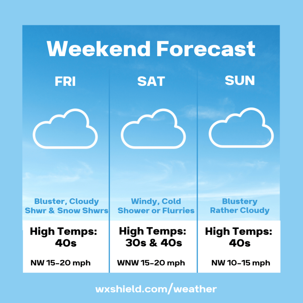
Happy Friday! Behind the low-pressure system, cold air will be moving in. Over the weekend, we will see more snow showers in the laurel highlands and northern counties due to upslope snow and lake effect. In those areas a coating to an inch or two is possible. Most other places will not see much in the way of accumulation.
Temperatures this morning will be in near the freezing mark of 32 degrees. We will see a few showers and snow showers mixed in. Winds will be from the north between 10-15 mph.
This afternoon we will be windy with an overcast sky. Winds will be from the northwest between fifteen to twenty mph.
Tonight will be cloudy with northwesterly winds between five to ten mph.
Saturday will be another windy and cold day with showers and snow showers in spots. High temperatures on Saturday will be in the upper 30s to lower 40s. With winds from the west northwest between fifteen to twenty mph, it will make it feel like it is in the 20s. If you are headed to the Penn State game against Minnesota, you will want to bundle up. Temperatures Saturday night will drop into the mid to upper 30s.
Sunday the sky will continue to be overcast. Winds will be from the northwest between ten to fifteen mph. High temperatures will be in the lower ot mid 40s.
Monday high pressure starts to build in for next week and it will be milder.
Have a wonderful weekend!
Almanac for today (Altoona records since 1948):
Average High: 52°F
Average Low: 35°F
Average Precip: .09″
Record High: 70°F in 1955
Record Low: 16°F in 2019
Record Precip: 1.30″ in 1970
Yesterday’s High: 48°F
Yesterday’s Low: 40°F
Yesterday’s highest wind speed: N 14 mph G 21 mph
Sunrise: 6:57 am
Sunset: 4:57 pm


Leave a Reply